Master of Science in Geographic Information Science
Degree Program
The Master of Science in Geographic Information Science (MSGISci) degree program at CSULB is a one-year, 30-unit, cohort-based program designed to provide students with advanced analytic and technical training in geospatial technologies and professional skill-building, in order to prepare graduates for the geospatial workforce. Courses are scheduled to meet the needs of working professionals.
Please Note:
Students enrolled in this program are eligible for some forms of financial aid, with the exception of the State University Grant (SUG) and Cal Vet College Fee Waiver.
GI Bill benefits can be used for this program. Click here to learn more about eligibility, rates, and other details.
Individuals across the geospatial workforce seeking focused and specialized training to become competitive and contribute to the range of positions in this diverse industry
Complete a Master of Science (MS) degree in one year.
Training in Geographic Information Systems, cartography, and remote sensing are uniquely combined with professional and interpersonal skill-building.
Program faculty bring years of expertise in geographic information science.
The program continually adapts to develop skills and provide relevant workforce experience.
Coursework addresses core technical, analytical, professional, and interpersonal competencies required of geospatial practitioners.
Student research projects focus on industry-informed topics.
Networking and professional development experiences are offered.
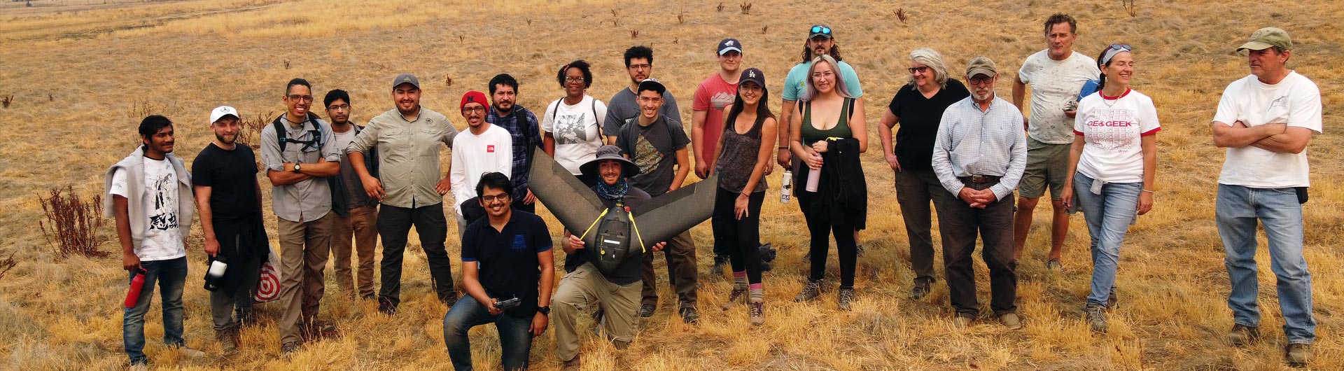
The program features a small cohort of 25 students.
Advanced technical and analytical skills in Geographic Information Systems, cartography, remote sensing, enterprise geodatabases, and programming
Professional and interpersonal competencies
It's never too late to go back to school. It's never too late to make a difference.
Angelica Cruz
Master of Science in Geographic Information Science
I was able to apply the knowledge gained in a practical setting, working on projects that addressed urban planning, transportation, and environmental challenges. The MSGISci program at CSULB is more than just a degree, it's a gateway to a promising career.
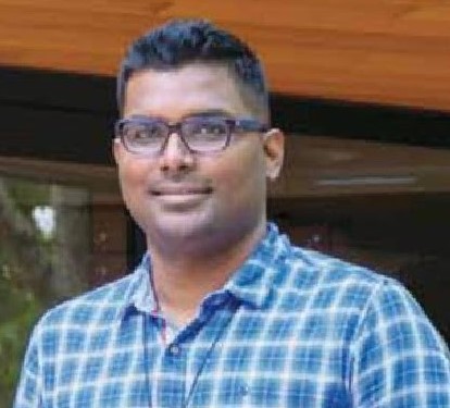
Anshu Pallav
Senior GIS Technologist, Midstream Pipeline
Master of Science in Geographic Information Science
Program Outline
GISC 601: Geospatial Professionalism (may be offered as 1 to 4 units; 4 required)
GISC 602: Applied GIS (may be offered as 1 to 4 units; 4 required)
GISC 603: Cartographic Visualization (may be offered as 1 to 4 units; 4 required)
GISC 604: Enterprise GIS Development (may be offered as 1 to 4 units; 4 required)
GISC 605: Programming for Geospatial Professionals (may be offered as 1 to 4 units; 4 required)
GISC 606: Applied Remote Sensing (may be offered as 1 to 4 units; 4 required)
GISC 607: Project Orientation and Support (may be offered as 1 to 2 units; 2 required)
GISC 608: Applied Project (4 units)
Information Sessions
Potential students interested in learning more about this program are encouraged to attend a free information session. The information sessions include short presentations by a program representative, designed to provide you with an opportunity to ask questions and learn more about the program's benefits.
Upcoming online Information Sessions are listed below when they are available. Choose a date and click the link to register for that Zoom meeting. After registering, you will receive a confirmation email with details about joining the meeting.
If no sessions are listed below, then none are currently available. Please check this page at a later date to view updated sessions.
Prerequisites for the MSGISci degree include the following:
A bachelor’s degree in either geography or a related discipline, with a minimum of one upper division course in geospatial techniques (for example: geographic information science, cartography, and/or remote sensing); OR
A bachelor’s degree in a related discipline with a minimum of one year of professional experience in a field with direct application of geospatial technologies.
Submit Cal State Apply application and supporting documents by posted deadlines:
The application period will open in October 2026. The application deadline for Fall 2027 is March 15, 2027 (international students) or June 1, 2027 (domestic students). Please apply early, as the review of completed applications begins on April 1, 2027.
Fall 2027 applicants:
You must submit an application to CSULB via Cal State Apply.
The program can be found under “Long Beach Extension” and is listed as “Geographic Information Science”
2. Along with your application, please include and submit the following through Cal State Apply:
Personal statement (1,000 words)
Sample of your work (Word document or PDF containing a summary of relevant samples of your geospatial work, or a link to your work)
Resume
Two letters of recommendation.
For further information on Graduate Applications, including the status of your application with the Enrollment Services Office, please visit the CSULB Graduate Admissions site.
Not only did the MSGISci program fulfill my hopes, but it had the added benefit of the diverse education and experience I gained. Night and weekend classes made it easy for me, and classes were rewarding due to the collaboration of students in the cohort. Instructors continuously gave details on how to take a project just one step higher. I learned such a great deal in those courses, and still utilize my notes today.
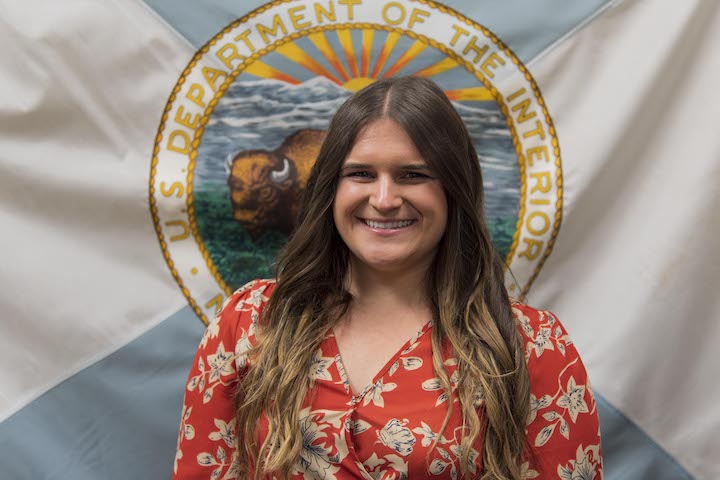
Audrey Sauvey
GIS Specialist
Master of Science in Geographic Information Science
Frequently Asked Questions
The Master of Science in Geographic Information Science (MSGISci) is a one-year, 30-unit program designed to develop core competencies required of the geospatial workforce which include technical, analytical, business, and interpersonal skills.
The Master of Science in Geographic Information Science offers a 1-year completion time with an industry-informed applied research project as the culminating deliverable.
The Master of Arts in Geography is a minimum two-year program with a research-based thesis as the culminating deliverable.
The CSULB GIS Certificate is an undergraduate-level certificate usually earned as part of a BA degree. It can be completed upon graduation, and post-baccalaureate students can earn this Certificate.
The program is designed as an in-residence program. Some of the program courses are offered in a synchronous online format.
Program courses are scheduled on Monday and Wednesday evenings and Saturdays.
The class schedule is designed to accommodate working professionals. The full-time course load involves a significant time commitment.
In the MSGISci program, a small cohort of no more than 25 students undertakes the intensive curriculum, taking all the same courses together. This format generally leads to strong professional and personal ties among the students that last well beyond the duration of the program.
No. The MSGISci degree is designed to be completed in 1-year and is dependent on the cohort-based format. The purpose of this format is for students to work together as a group and experience team-based project development and completion. Skills needed to complete the project are developed throughout the year.
No. You must complete the 30-units of coursework specifically designed for this degree program. We value the contributions your experiences will provide to the classroom dynamic.
To be eligible for this degree you do not need a bachelor’s degree in geography (although a BA or BS degree is required). We do require previous upper-division coursework in GIS. Professional experience in GIS is desirable.
Yes. The application process requires two letters of reference. We recommend one reference to be provided by an academic and one from a professional contact. Select someone who can accurately discuss your character, qualifications, academic and/or professional history, ability to undertake graduate-level work and academic and/or career goals.
Industry partners pitch projects to the cohort in the Fall semester as part of GISC 602. Students are paired with a client and work as a team to complete the deliverable by the end of the program in August. We typically offer 6 or 7 projects per cohort with teams of 3-4 students.
The program tuition is $700 per unit, or $21,000 for the 30-unit degree, with an addition $20 in fees. For details on additional costs, please visit the Student Housing and Parking & Transportation Services pages.
Tuition and fees are the same for CA state residents, out-of-state students, and international students.
The entire fee does not need to be paid in advance. Students register and pay for one semester at a time.
Yes, please visit the Financial Aid and Scholarships page or call (562) 985-8403. The FAFSA deadline for schools in California is usually March 2. Students enrolled in this program are eligible for some forms of financial aid, with the exception of the State University Grant (SUG) and Cal Vet College Fee Waiver.
We do not offer tuition reimbursement for this degree program. Please check with the MSGISci Director for funding opportunities within the Department of Geography.
Yes. Please contact the Veteran’s Affairs office for additional information at (562) 985-5115.
No, the GRE is currently not required to apply for the MSGISci program.
The TOEFL test measures a students’ ability to use and understand English at the university level. Non-native English speakers may be required to take this test to demonstrate proficiency in the English language. Admission to CSULB graduate programs requires a TOEFL score of 213 on the computerized test, 80 on the internet based test (or 550 on the pencil and paper test).
Instructors
Over the past 25 years, Suzanne Perlitsh (Wechsler), Ph.D., has developed the geospatial curriculum at CSULB and is committed to preparing students for effective entry into the geospatial workforce. Her research explores topics in spatial data uncertainty and how it is quantified and responsibly communicated. Dr. Perlitsh has served as the MSGISci Program Director since 2013, and most recently taught courses in Applied GIS and Geospatial Professionalism. She earned Master of Science and Ph.D. degrees in Forest Resources Management from the State University of New York College of Environmental Science and Forestry, where she specialized in GIS and watershed hydrology.
Suzanne Perlitsh (Wechsler), MSGISci Program Director, Professor and Chair of Department of Geography
Steven J. Steinberg (Ph.D., MPA, GISP, GeoEdC) is the Geospatial Information Officer for Los Angeles County, where he works across 40 county departments to develop and implement geospatial strategy with a team of highly skilled GIS professionals. He has researched and presented extensively on the application of geospatial technologies for modeling and visualization of both human and natural environments. He co-authored two books with his wife, Dr. Sheila Lakshmi Steinberg: GIS Research Methods and GIS for the Social Sciences: Investigating Space and Place. Most recently, they co-edited GIS Applications for Resilience: Across Spatial Geographies. Dr. Steinberg currently serves on the GISCI Certification Committee, NGAC 3DEP Workgroup, and as an instructor for URISA’s GIS Leadership Academy and Advanced GIS Leadership Academy. He teaches Applied GIS, Project Orientation and Support, and Applied Project courses.
Steven J. Steinberg, Geospatial Information Officer, Los Angeles County
Hyowon Ban, Ph.D., is a Professor in the Department of Geography at California State University, Long Beach. Her research interests include Geographic Information Science focusing on spatio-temporal approach and semantic uncertainty; multidisciplinary research about the representation of space in the fields of geography, mathematics, art, dance, and music; and digital cartography, visualization, and visual analytics. Dr. Ban teaches Cartographic Visualization.
Hyowon Ban, Professor, Department of Geography
Jonathan Pando Ocón, Ph.D., specializes in applications of geospatial science, specifically remote sensing, to issues involving human-environment dynamics, traditional ecological knowledge, and urban ecosystems. For Jon, research is an opportunity in experiential learning for his students. He opts for direct learning opportunities over exams to connect students with communities, test their newly acquired technical skills, and contribute to their professional development. He also values autonomy for his students and opts for open source and open access tools. Jon teaches Programming and Remote Sensing.
Jonathan Pando Ocón, Assistant Professor, Department of Geography
Daniel Richards received his degree as part of the first cohort of the MSGIS program at CSULB. After 30 years of experience serving organizations in the public sector, Daniel joined the faculty in the Geography Department in 2015. He is self-employed as GIS consultant after 16 years as the GIS Manager for the City of Huntington Beach. He coordinates the Orange County GIS Users Group as a certified GIS Professional (GISP), Drone Pilot (FAA, AUVSI), Photogrammetrist (ASPRS), and Database Administrator (DBA). He received Esri’s Special Achievement Award for GIS while working in Kentucky. Daniel specializes in Enterprise GIS and GIS programming, is trained in Project Management and Leadership, and gives numerous talks and presentations for organizations including Esri, URISA, APA, IEGIS, and many others in the Southern California region. He has taught Enterprise Development and Geospatial Professionalism, GIS Programming, and Applied Project.
Daniel Richards, GIS Consultant
Dr. Warren specializes in Industrial-Organizational Psychology. He has taught numerous courses at the undergraduate and graduate level, including Group Dynamics in the BA in Psychology Online Program as well as Geospatial Professionalism in the MSGIS program. Dr. Warren serves on the executive board for several organizations on campus such as the California Faculty Association, Western Psychological Association, among others. In addition to research presented at international conferences and publications in top tier journals focusing on the psychology of work, he has developed assessments plans for academic and community organizations, and designed training programs for student and research groups, as well as local organizations such as the City of Anaheim and the YWCA. He has a BS in Psychology from University of South Florida, and both MS and PhD degrees in Industrial-Organizational Psychology from Tulane University.
Christopher Warren, Professor of Psychology
With 31 years of experience in the field of Engineering Geology, Scott Winslow serves as a lecturer in Physical Geography and Manager of the Geography Department’s GIS computer labs. His specific areas of expertise include geographic information science (GIS), remote sensing (including low-altitude aerial imaging using unmanned aerial vehicles), and digital image processing. Mr. Winslow is also a licensed commercial pilot and an FAA-certificated Unmanned Aerial System (UAS) pilot. As GIS Lab Manager, he supervises students who integrate UAVs into their applied projects and has also taught the Applied Remote Sensing course. He earned both his undergraduate degree in Geological Sciences and Master of Arts degree in Geography with a specialization in GIS at CSULB.
Scott Winslow, Lecturer, GIS Lab Manager
Paul Laris, Ph.D., is a Professor of Geography at CSULB. Dr. Laris studies and teaches about human-environmental relationships in the geographic tradition, including the relationship between human use of fire on the landscape and its long-term consequences. He has conducted research in Mali and Southern California, while authoring dozens of articles and book chapters. His research has been funded by NASA, National Geographic, and the National Science Foundation. He teaches courses on environmental change and environmental field methods, working with students conducting research on long-term vegetation changes in California, focusing on former ranch lands in Point Mugu State Park and River Ridge Ranch. Paul’s future research seeks to use UAVs to collect high resolution imagery on vegetation as well as gas emissions of methane from savanna and grassland fires.
Paul Laris, Professor of Geography
Linna Li, Ph.D., is a Professor of Geography at CSULB. Dr. Li's teaching and research interests include geographic representation, spatial data quality, data conflation, spatial analysis, cyberinfrastructure, GIS programming, spatial databases, GIS applications in urban environments and public health, spatio-temporal data mining, and social media. Dr. Li has taught the GIS Programming course.
Linna Li, Professor of Geography
Sumaiyah Umarji is a Principal GIS Analyst with the County of Los Angeles’ Enterprise GIS team, where she leads data-driven initiatives with a strong commitment to public service and innovative problem-solving. She designs dynamic dashboards and interactive reports that transform complex spatial data into actionable insights. Her work supports decision-makers across the County in understanding trends, assessing needs, and responding to real-time challenges and emergencies through data-driven insights. Ms. Umarji is a graduate of the MSGISci program and now teaches a course in Geospatial Professionalism.
Sumaiyah Umarji, Principal GIS Analyst, Enterprise GIS, Los Angeles County
Master of Science in Geographic Information Science
Application Period:
Fall 2027
Application Deadline:
March 15, 2027 (international) or June 1, 2027 (domestic)